Science and solutions for regenerating our planet.
We're in conversation with individuals and organizations across BC who are researching and engineering a brighter future. Explore their ideas below.
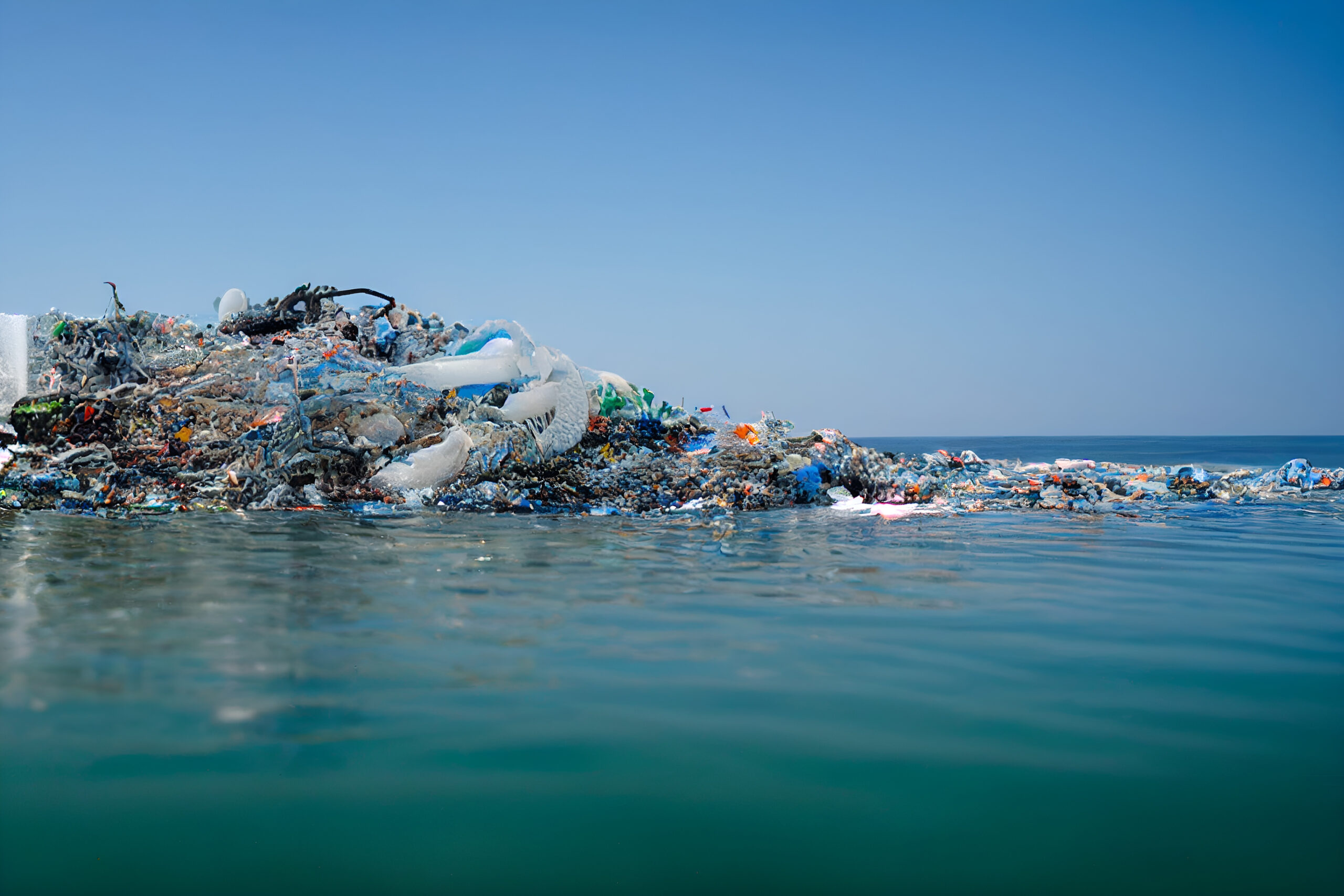
Up in the Air
Earth's atmosphere: past, present, and what’s still up in the air.
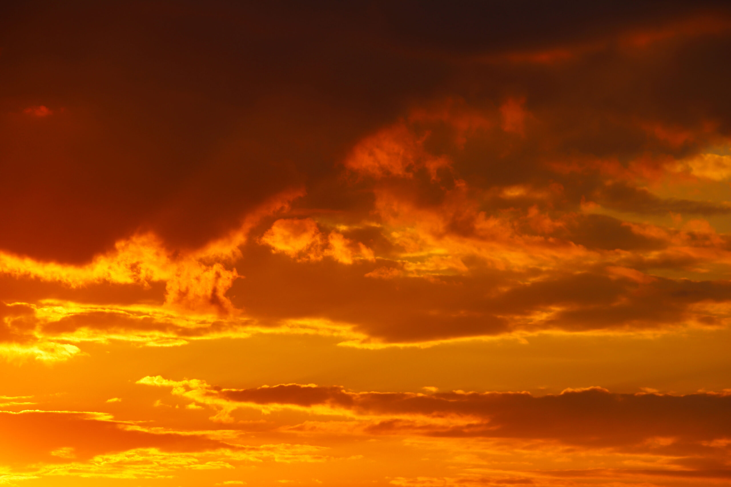
Was the Sky Always Blue?
Explore
Did Dinosaurs Get Cold in the Winter?
Explore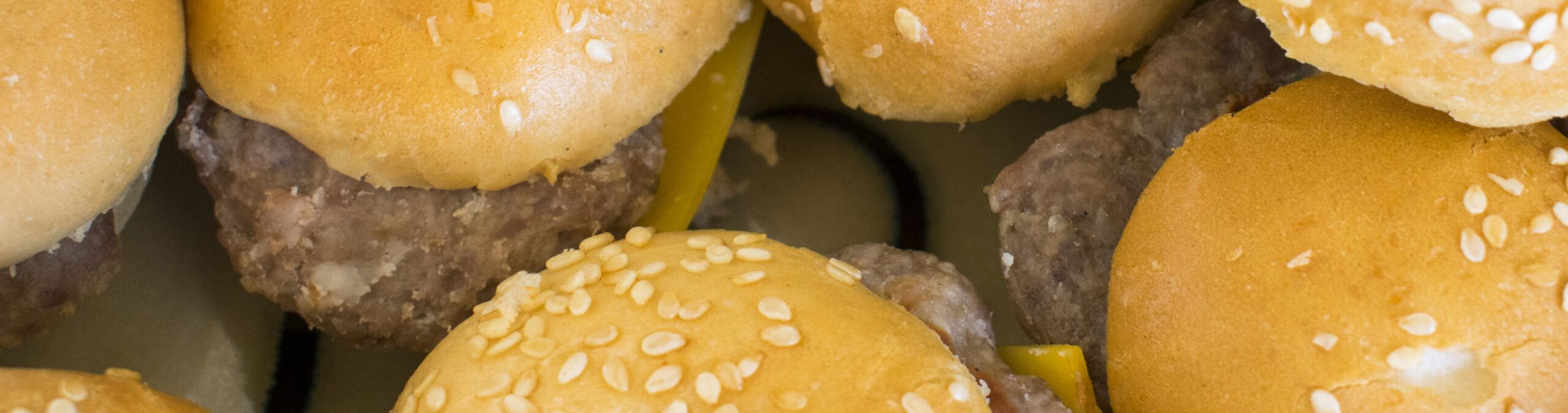
How do Hamburgers Make Summers Hotter?
Explore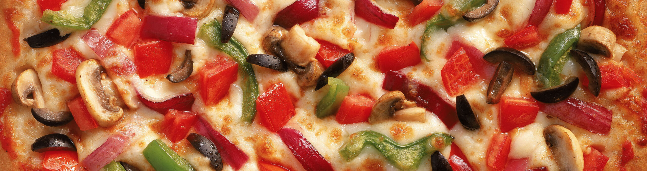
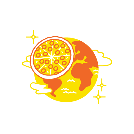
If Vancouver's GHG Emissions Were a Pizza, How Big Would it Be?
Explore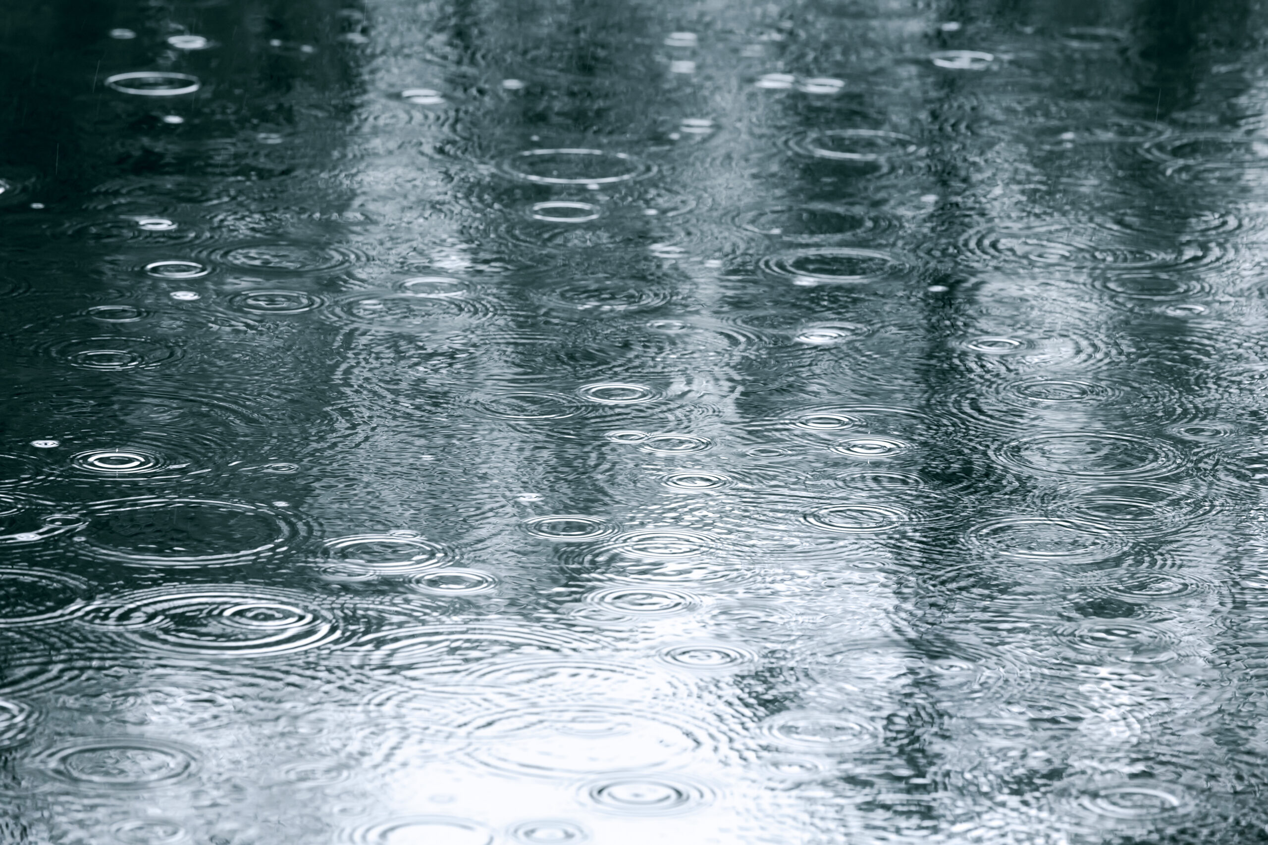
If BC's Winters are Wetter, Why are Summers Drier?
Explore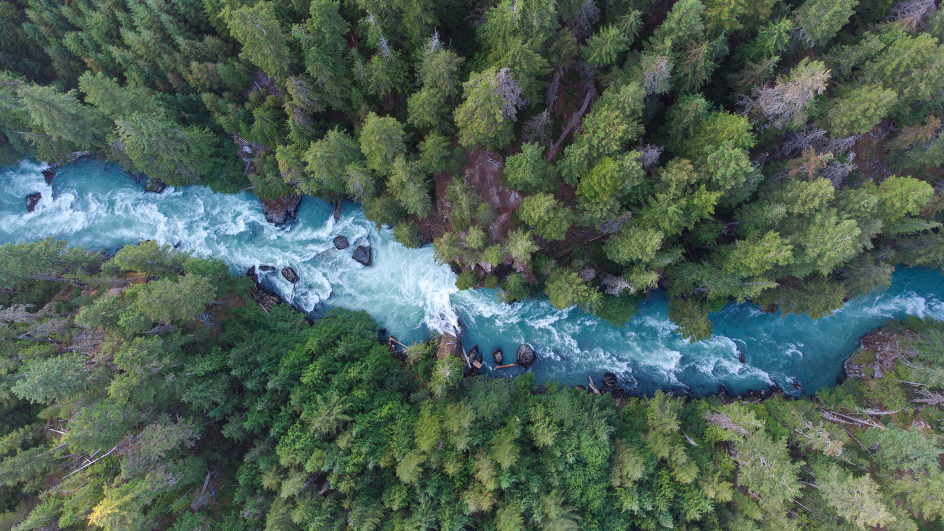
Will the Fraser River Dry up in My Lifetime?
Explore
Will BC See More Heatwaves, Hurricanes or Tornadoes?
Explore
How Can We Use Fire to Have Fewer Fires?
Explore
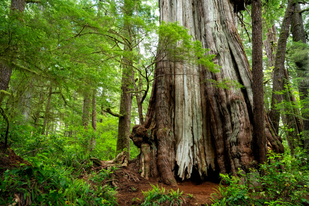
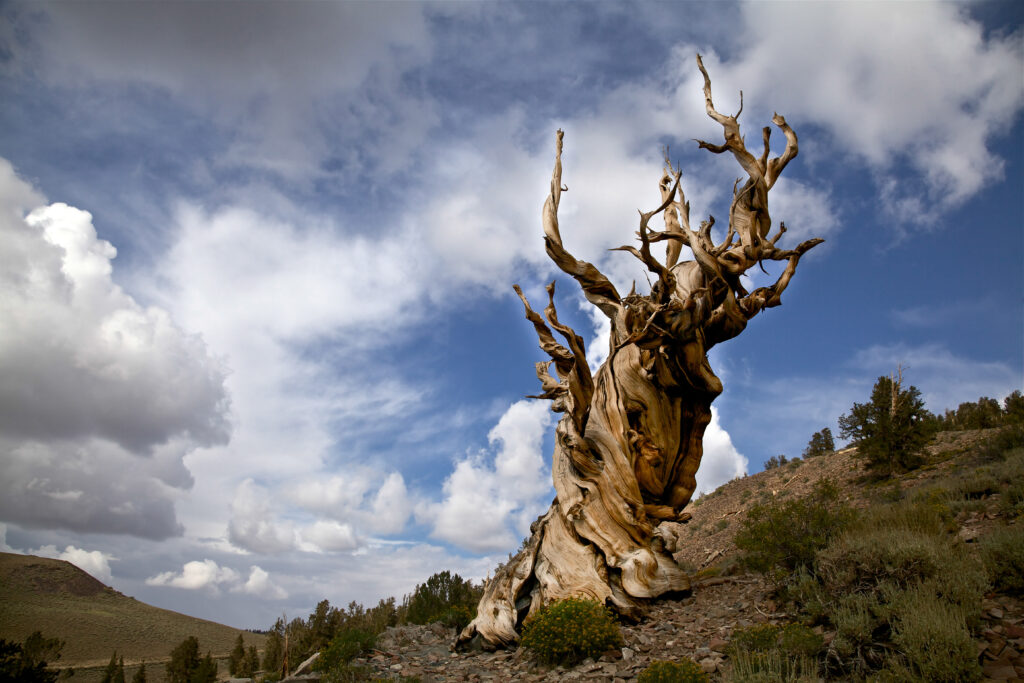
How old is the oldest living tree in BC?
Maybe? It's hard to say for sure. But that's the estimate from data sampled from this beauty named the Cheewhat Giant, a western red cedar almost 6 metres in diameter, on Vancouver Island.
Nope! That's the age of the oldest tree in the world, not pictured here as its location remains a secret, a Great Basin bristlecone pine in eastern California.
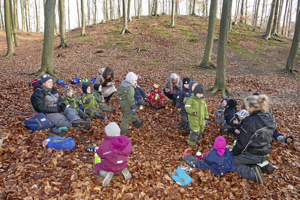
Land Remembers
For thousands of years, Indigenous Peoples have fostered deep connections with the environment. What colonization disrupted, the land remembers.

How did we lose our balance?
Explore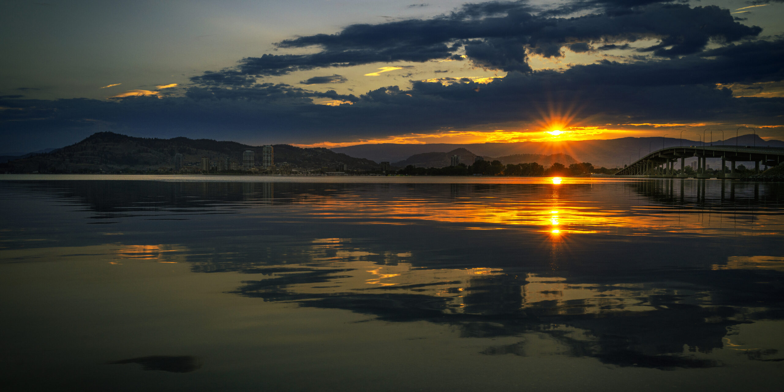
How are we related to water?
Explore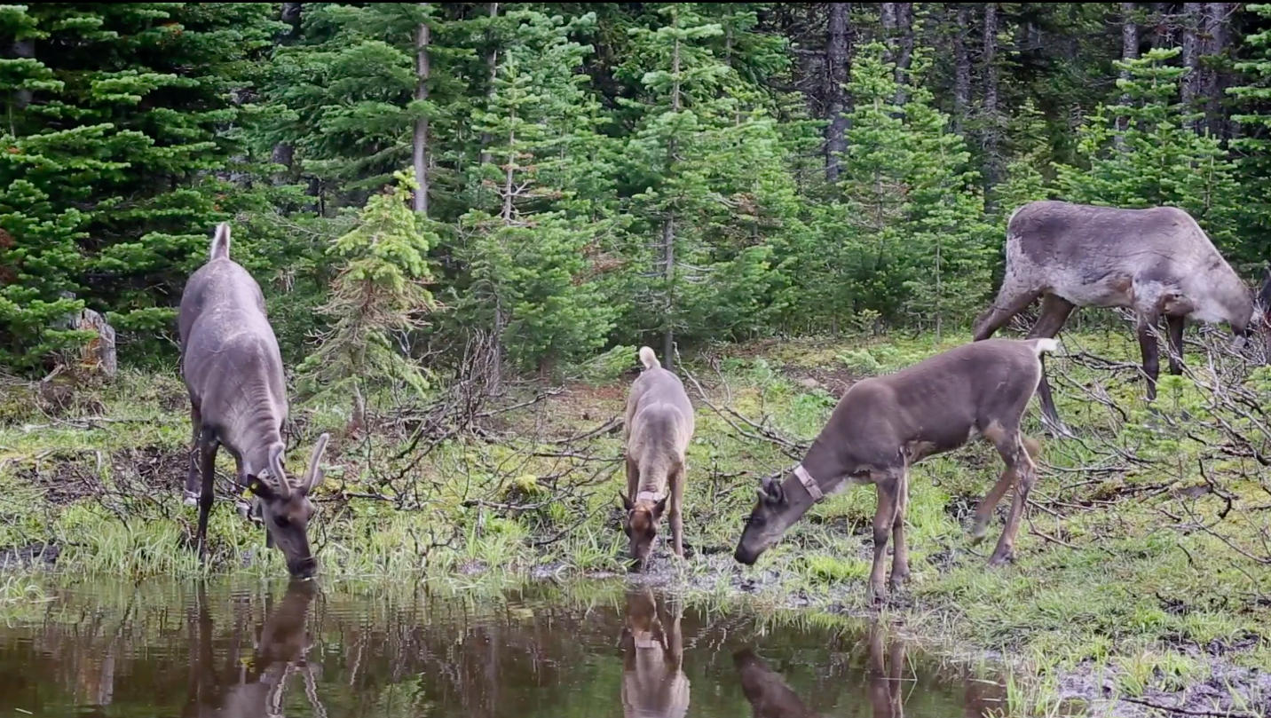
Why should we bring back threatened species?
Explore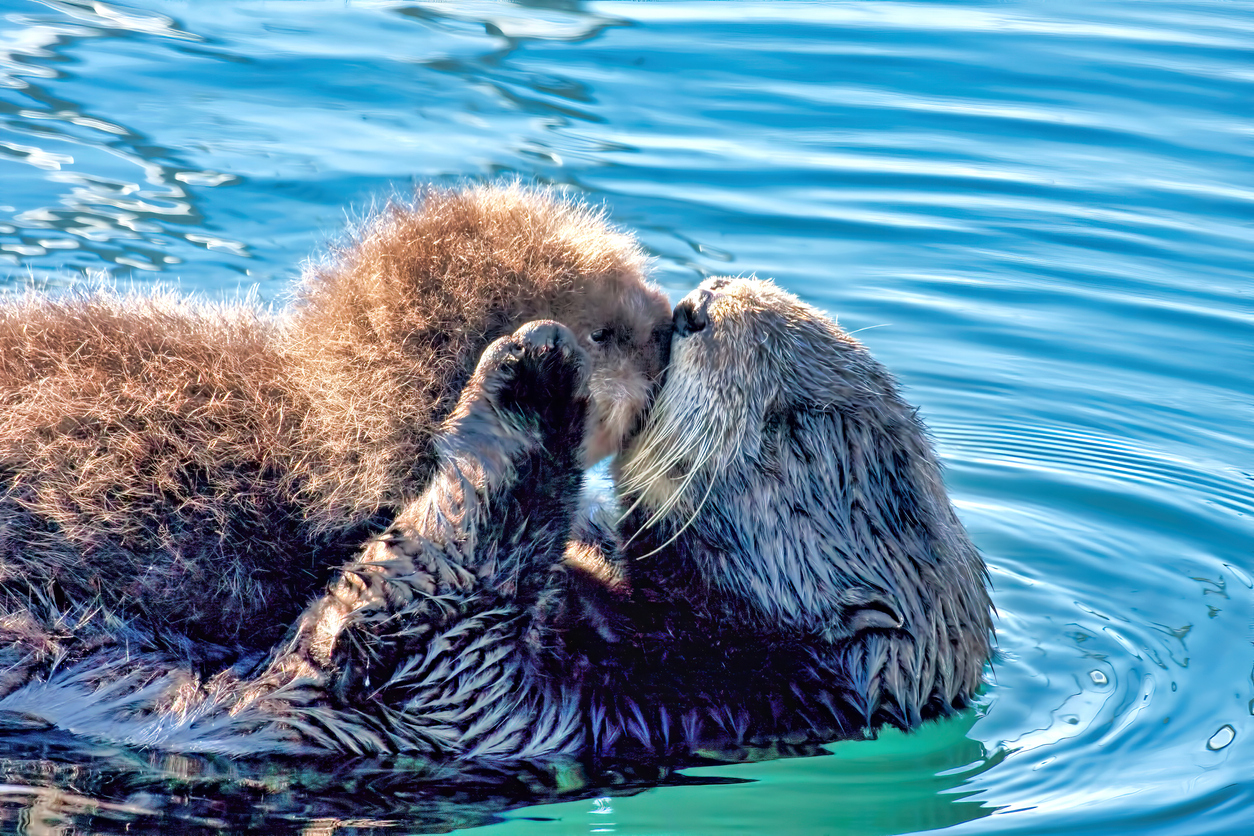
How do otters make oceans healthier?
Explore
Were the first gardens underwater?
Explore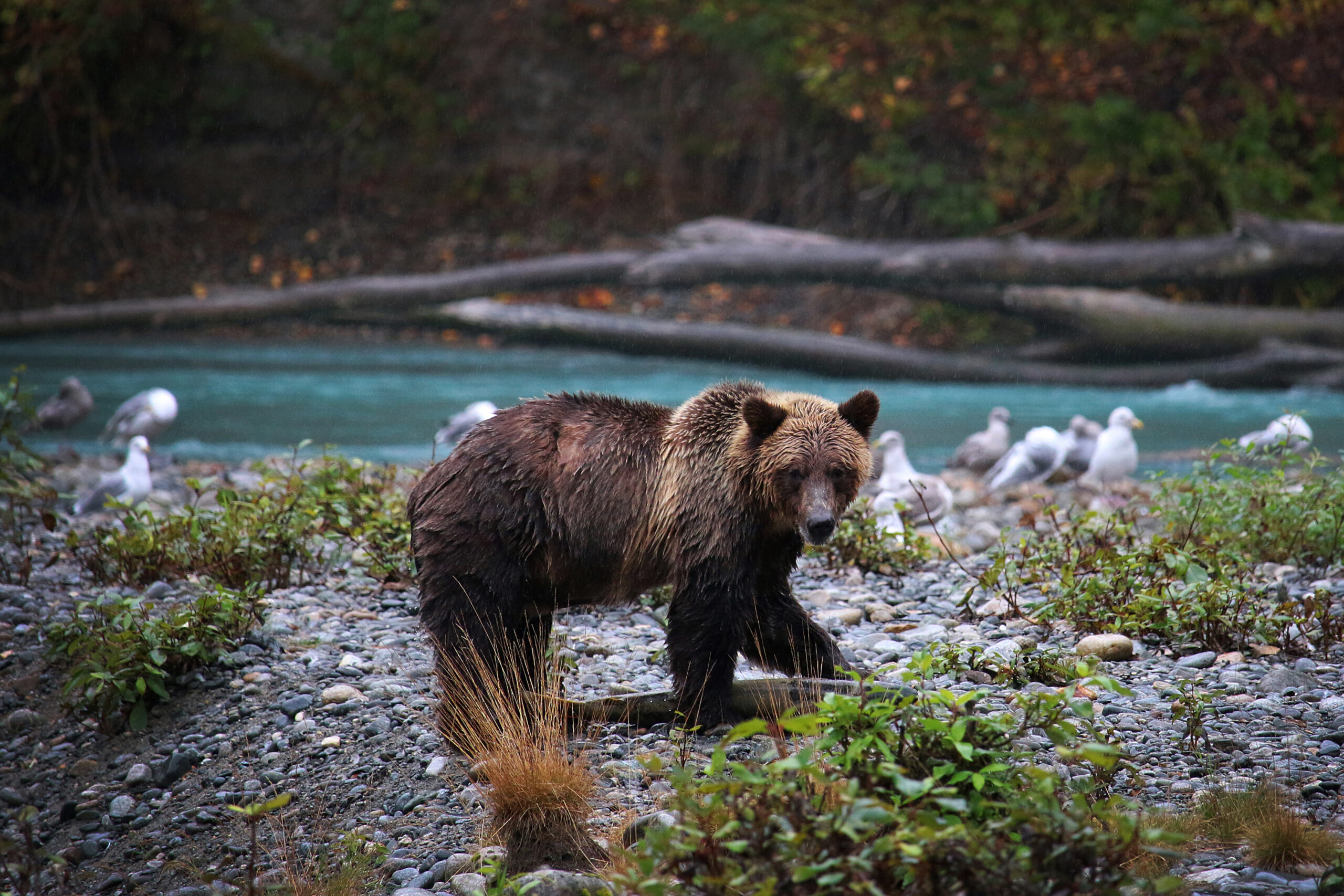
How did Indigenous languages and grizzly bears co-evolve in BC?
Explore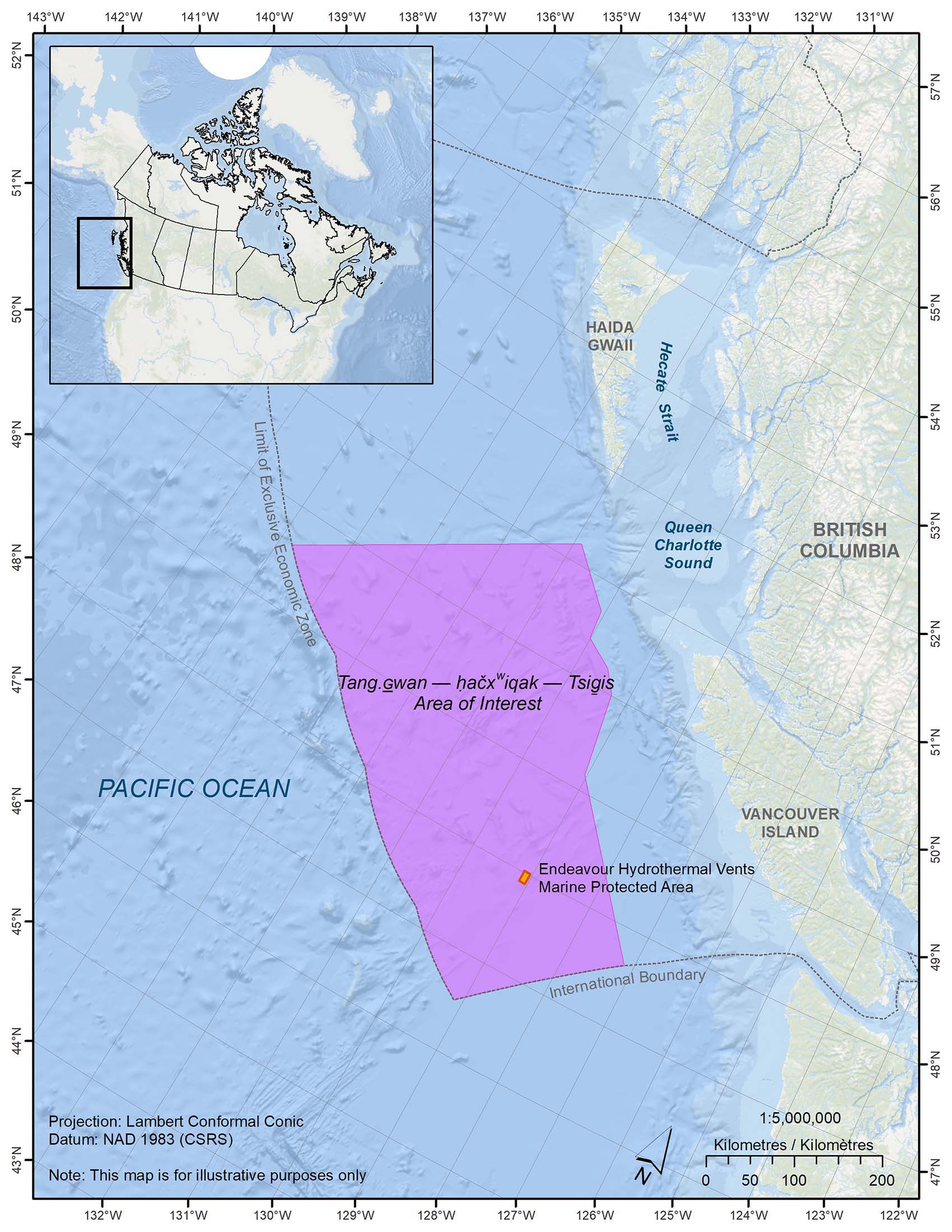
What are we protecting in the ocean's deepest parts?
Explore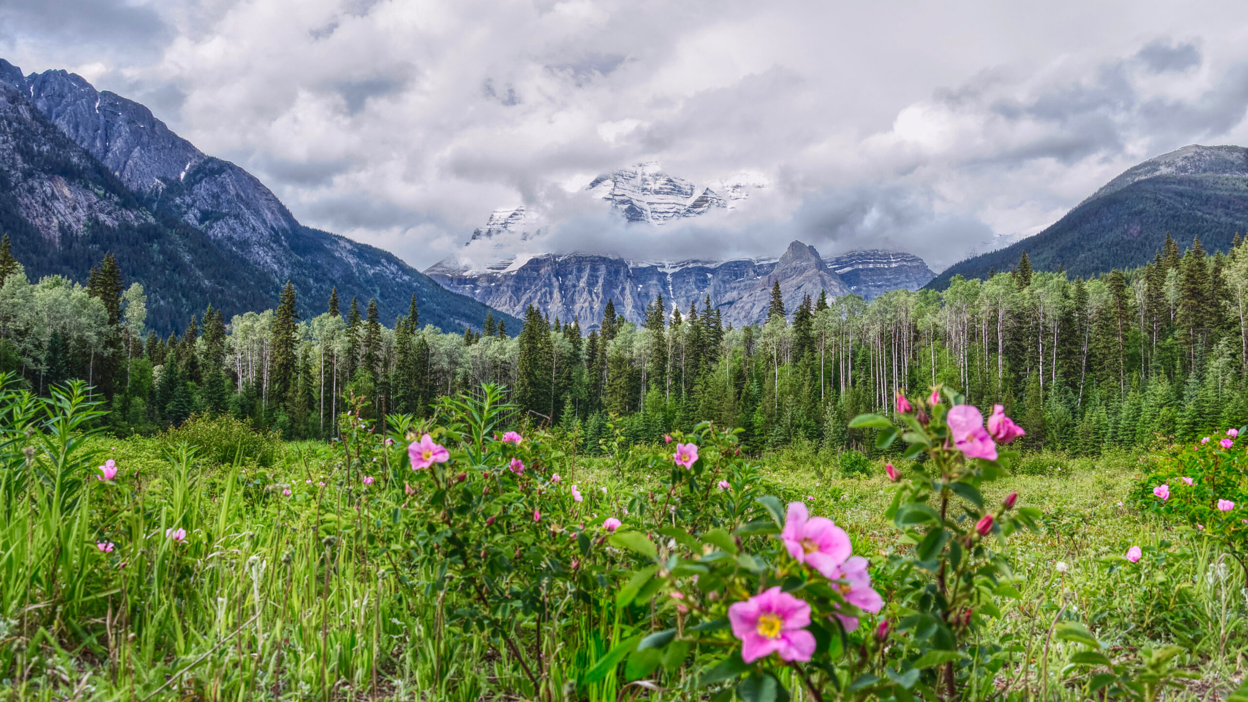
When does a wild rose bloom?
Explore
Explore traditional uses of some of BC's native plants
spánanexw (spah-na-noo)
See it!
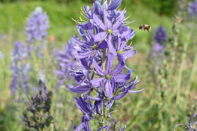
Spánanexw is a vegetable that holds significant value for the Sḵwx̱wú7mesh (Squamish) People and other Indigenous communities. The bulbs are harvested in April or May, immediately after flowering, and cooked in a pit for 24 hours to break down the inulin (starch) into fructose and caramelize the bulbs. English name: Camas
sí7semachxw (say-sem-ahch-kw)
See it!
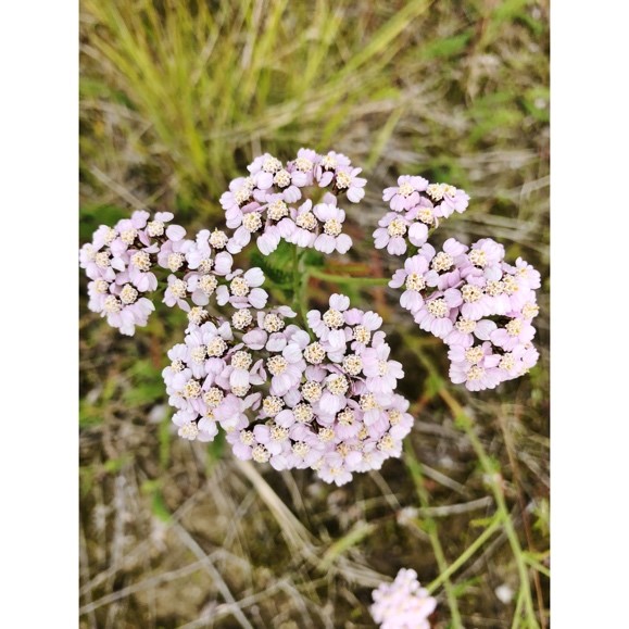
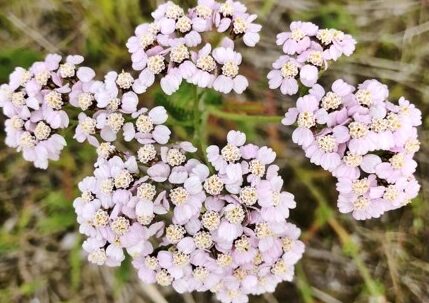
sí7semachxw is a remarkable herbal remedy. Its fresh leaves serve as a poultice, while dried powdered leaves slow or halt bleeding. The entire plant contributes to inflammation reduction. English name: Yarrow
lhásem (lha-sum)
See it!
lhásem, a vital root vegetable in the lily family, thrives in estuary root gardens across BC. Traditionally cultivated by Indigenous communities, its bulbs, rich in rice-grain bulblets, ensure annual returns when replanted. English name: Northern Riceroot
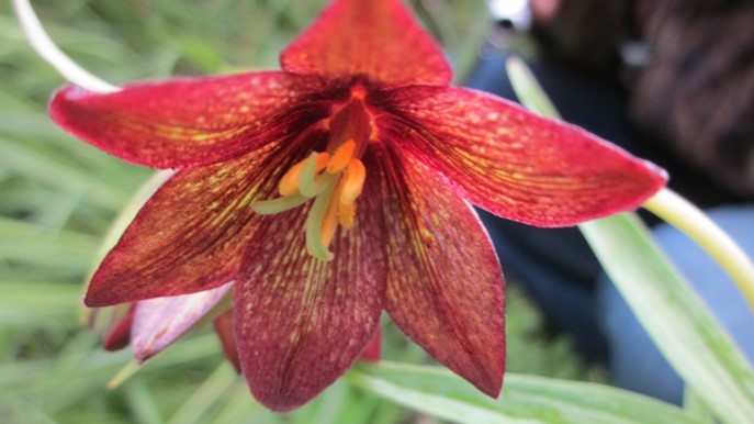
ḵálḵay (call-kay)
See it!
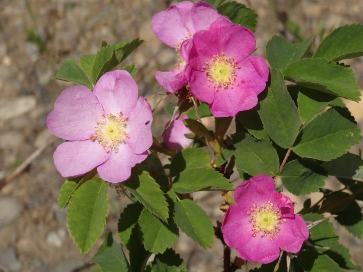
ḵálḵay is a vital food and medicine. Rosehips are rich in antioxidants and vitamin C, and the petals are also edible and offer calming medicinal benefits. English name: Wild rose
ḵweláwa (quell-ah-wah)
See it!
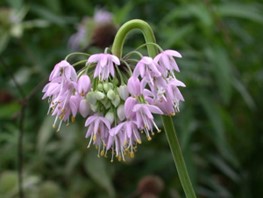
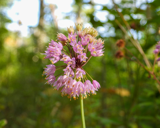
Kweláwa, a cherished wild onion among the Sḵwx̱wú7mesh People, is harvested alongside blue camas and similarly undergoes pit cooking. The entire plant, a delectable addition to stir fry or salad, is edible. English name: Nodding Onion
Making Waves
People across BC are making waves in how we understand our connection to oceans and how we can regenerate their health.

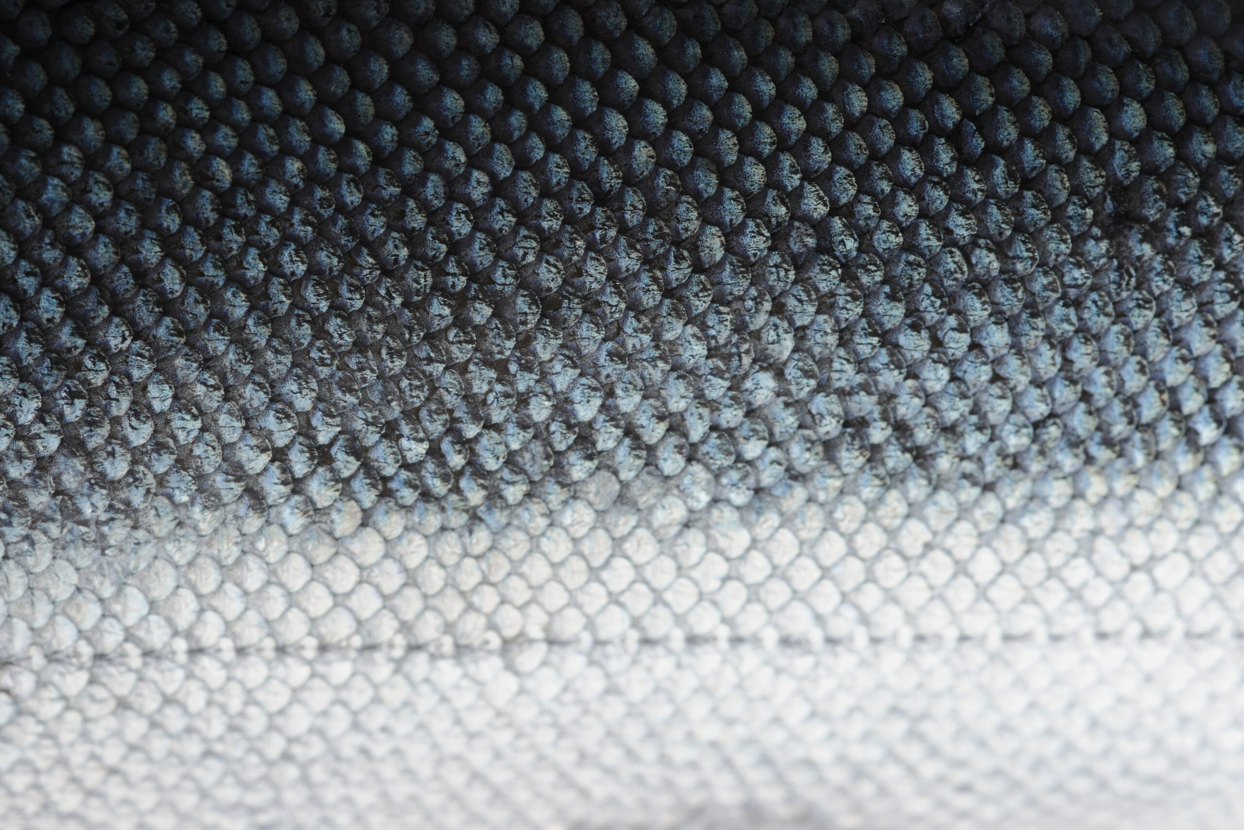
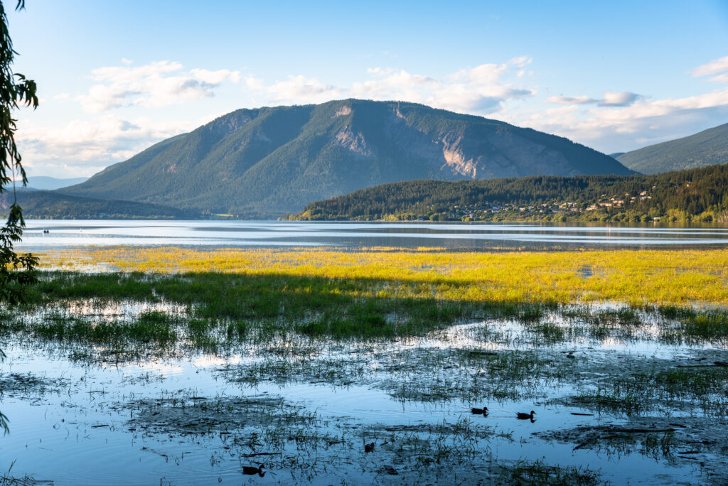
Each year, millions of salmon make an epic journey to spawn in BC rivers. Which river is famous for hosting one of the largest sockeye salmon runs?
Named after Chief Sel-howt-ken, a Sxste'lln leader who was baptized as Adam by missionaries. Every four years, volunteers host the Salute to the Sockeye in Tsútswecw Provincial Park, northeast of Kamloops, to welcome the salmon. It's a sight to behold.
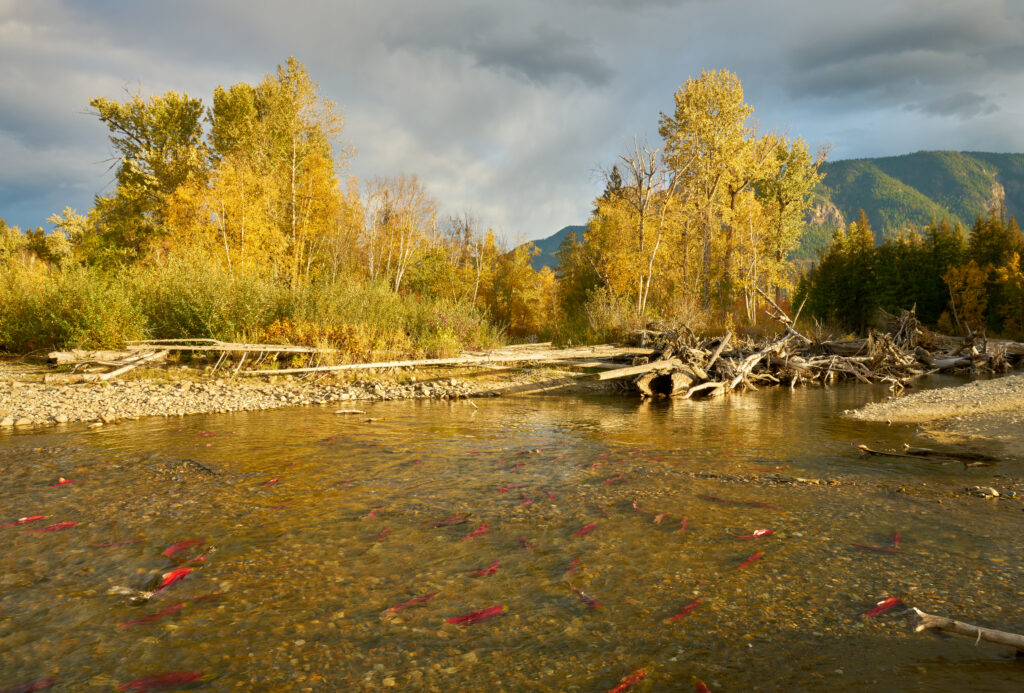
Close! It happens in Adams River, a tributary to Fraser River, northeast of Kamloops.
Nature, Nurtured
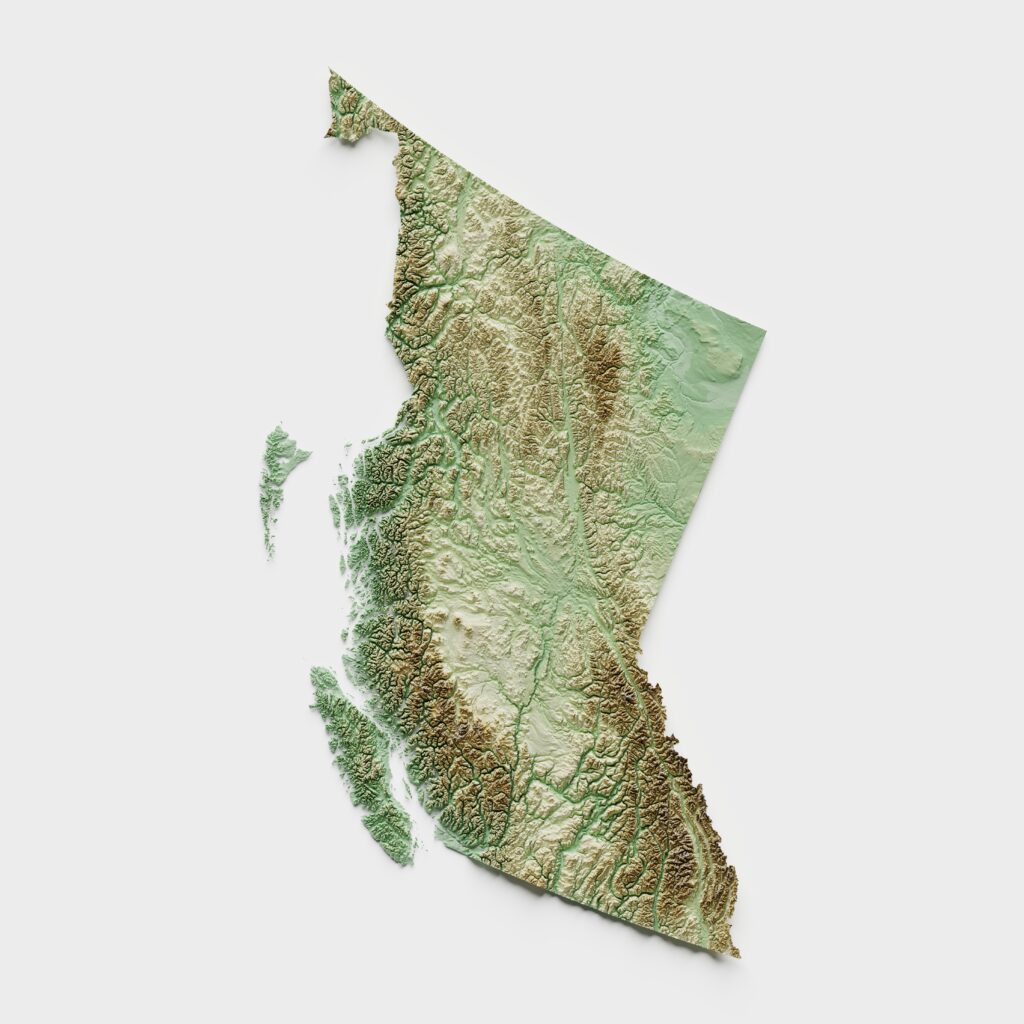
BC is home to the greatest biodiversity in Canada. Learn how people across the province protect and nurture nature.
Is a love for plants and animals in our genes?
Explore
Who keeps track of all the plants and animals?
Explore
Why are there so many plant and animal species in BC?
Explore
What's threatening biodiversity in BC?
Explore
Why should we protect old-growth forests?
Explore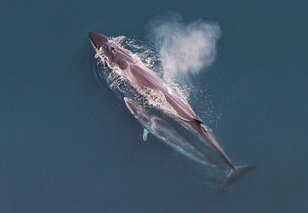
What are the rarest animals in BC?
Explore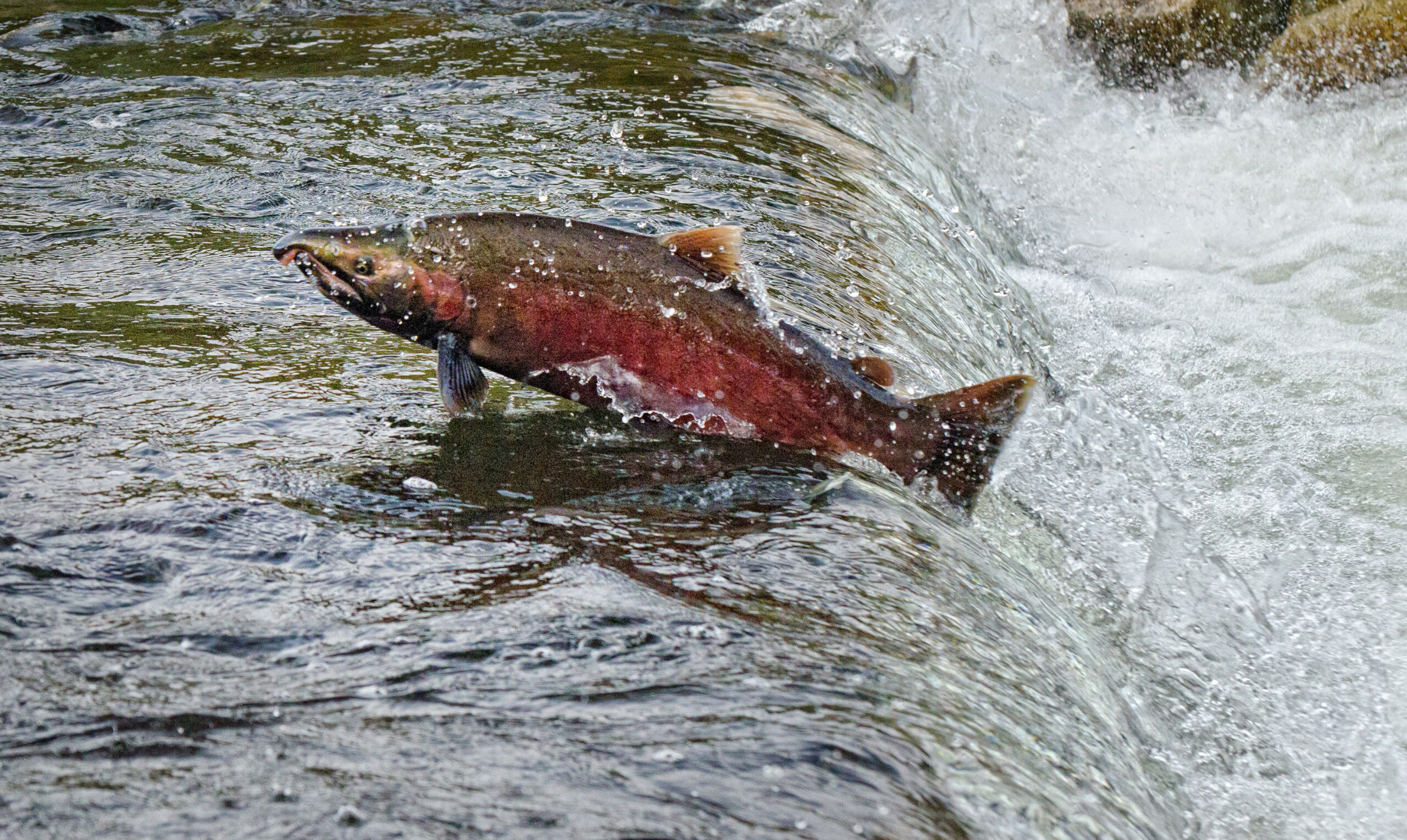
What can we learn from Skowkale Nation about regenerating salmon?
Explore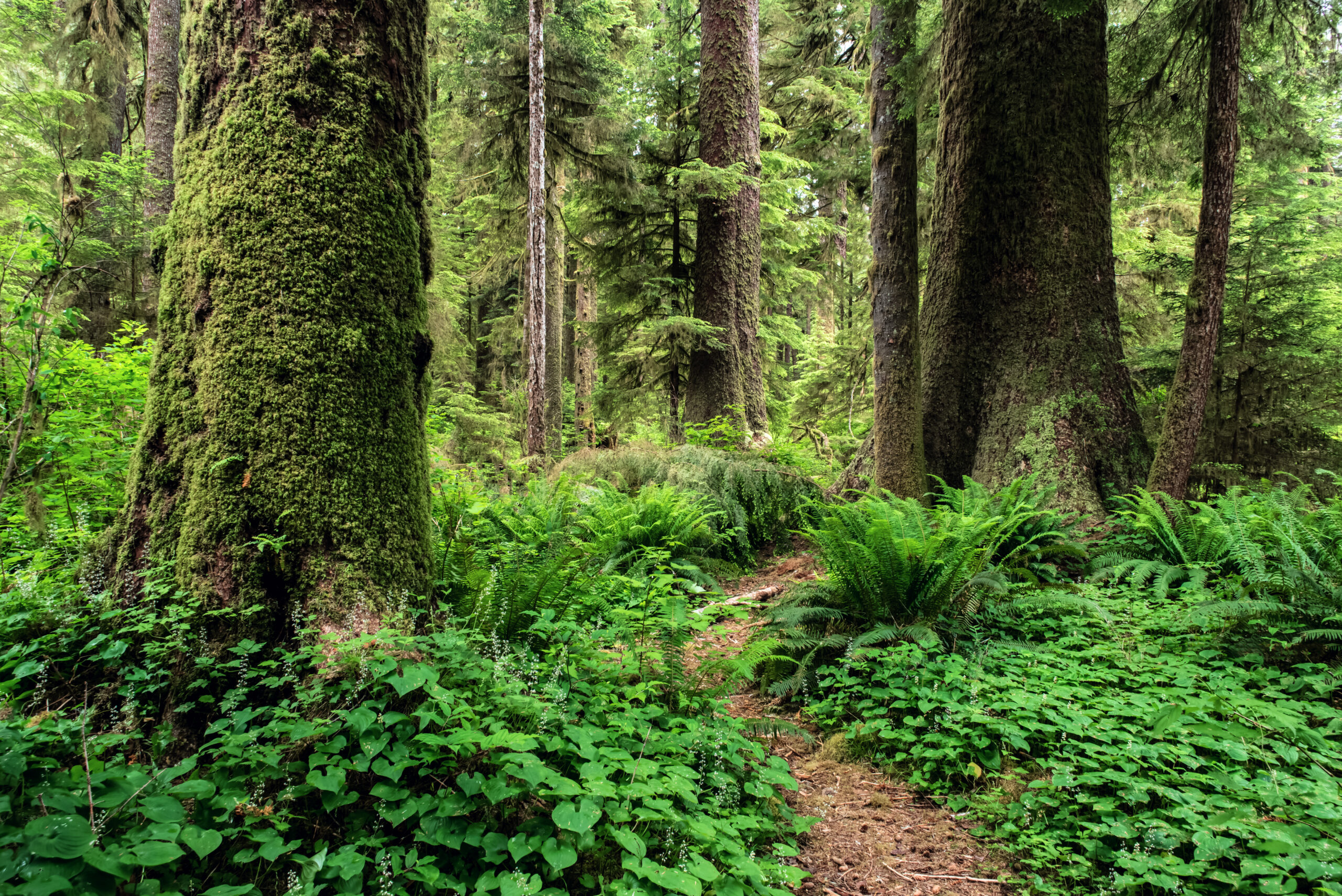
Why should I care about the plants and animals in my backyard?
Explore
Explore some of the biomes that make BC so biodiverse
Coastal rainforests
See more →
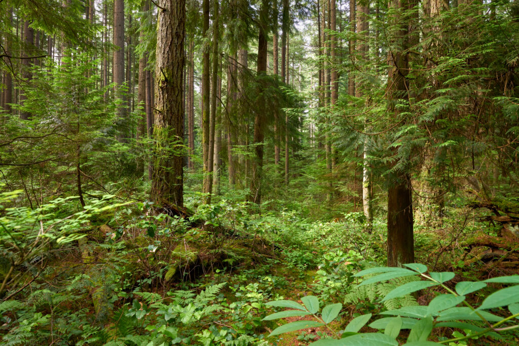
BC's coastal rainforests are home to high productivity and biodiversity. For example, marine-based nitrogen is transferred to the land through salmon swimming upriver to spawn. Some are eaten by bears, and their remaining carcasses eventually deteriorate and enrich the soil.
Additionally, BC's coastal temperate rainforests are globally rare. These types of forests only occur on 0.2% of the Earth's surface!
Interior grasslands
See more →
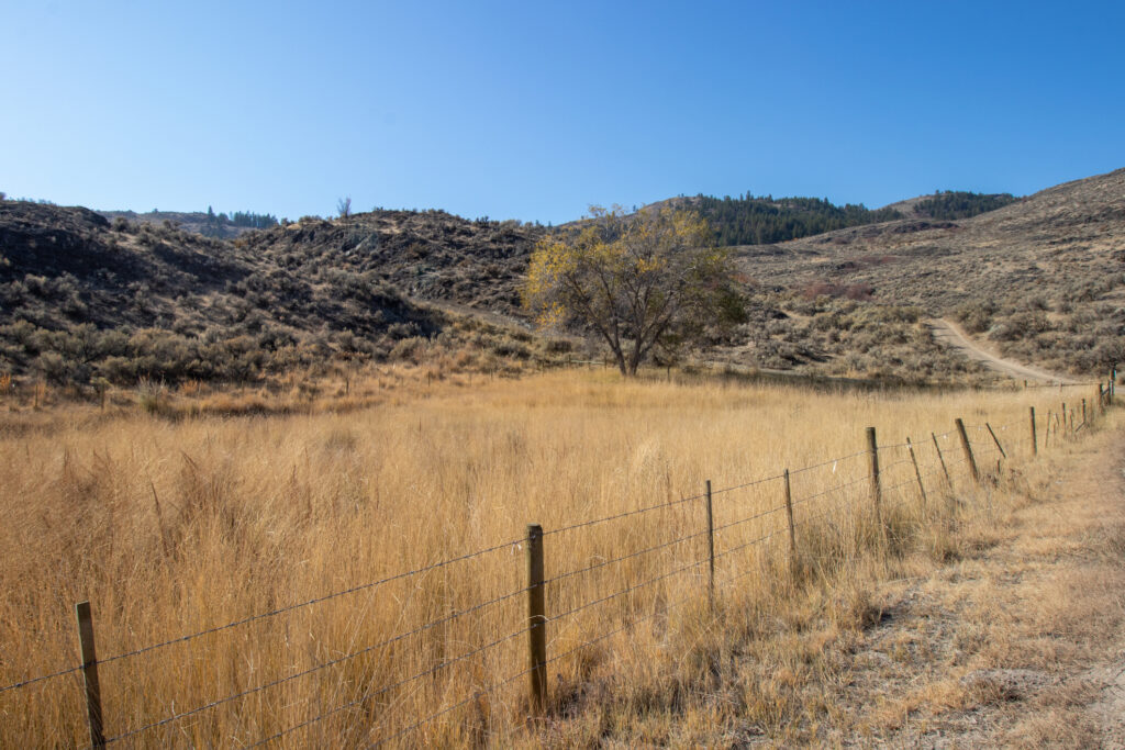
The interior grasslands is one of the driest and hottest locations in Canada. This area is home to many plant and animal species that are adapted to summer droughts and cold, dry winters.
Some grassland plants grow from bulbs deep underground, where there is more moisture. Other plants grow in early spring when there is more moisture in the soil.
Grasslands cover less than one percent of BC and are home to more endangered species than any other habitat.
Alpine tundra
See more →
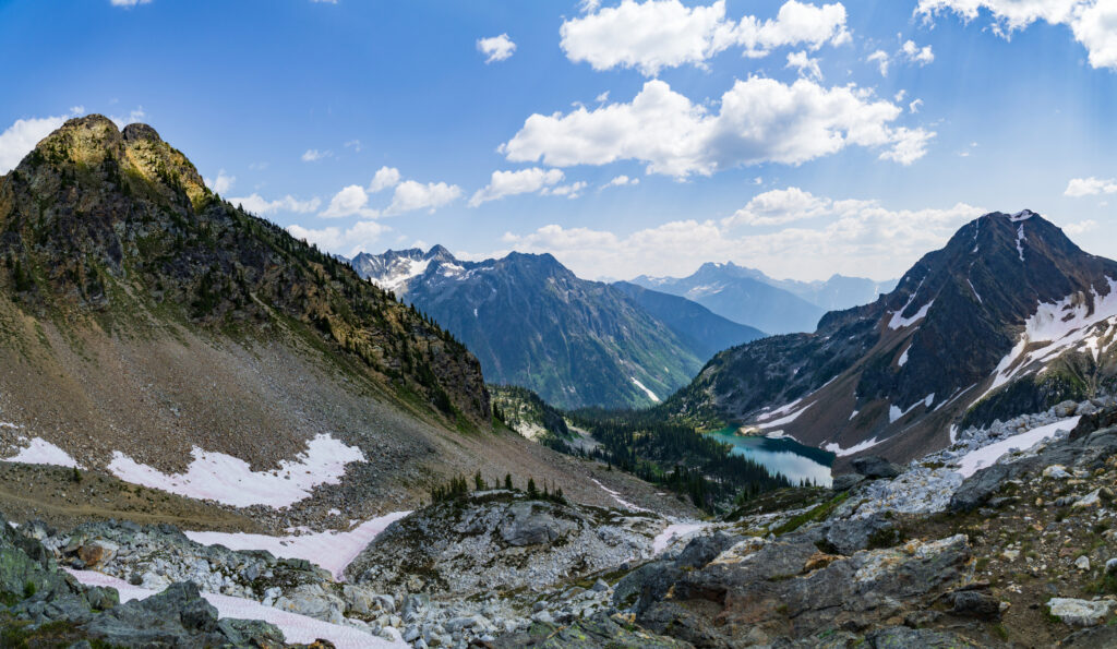
More than 12 percent of BC is alpine tundra, or land above the trees. Due to its harsh climates and high elevation, the alpine tundra is mostly treeless and some areas are covered by snow and ice year round.
However, over 400 species of native alpine plants thrive in this environment. Many of these plants are shrubs, herbs, mosses, and lichens.
Boreal forests
See more →
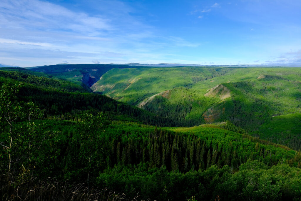
At 299,000km2, BC's boreal forest is larger in size than the United Kingdom! What impact does this make? Quite a lot.
It stores over five billion tonnes of carbon in its soils, peat, and forests. Further, it's the breeding ground for approximately 170 species of birds and supports other wildlife, like 1,000 of Canada's threatened Woodland Caribou population.
Wetlands
See more →
Approximately five percent of BC is covered by wetlands, which help minimize environmental problems and provide crucial habitat for wildlife.
Wetlands are nature's filtration system, and help regulate atmospheric gases and climate cycles through absorbing water quickly and releasing it slowly with improved quality. They also help to stabilize shorelines, recharge groundwater, and more.
Wetlands also contain rich biodiversity. An estimated 50 percent of wildlife species in North America rely on access to wetland habitats.
It's On
Generating electricity from quartz? Beaming solar power from space? When it comes to transforming our use of energy, it’s on.


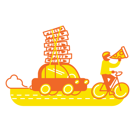
A human eats a slice of pizza and gets enough energy to bike 5 kms at 10 kms/hour.
A car traveling the same distance and speed would need the energy equivalent of 200 slices of pizza.
Machines can't use the energy in fossil fuels as efficiently as the human stomach uses pizza.
Fast Forward
We can’t speed up time, but exciting new technologies can fast forward our solutions to a brighter future.

What does Artificial Intelligence know about climate change?
Explore
Has Artificial Intelligence gone fishing?
Explore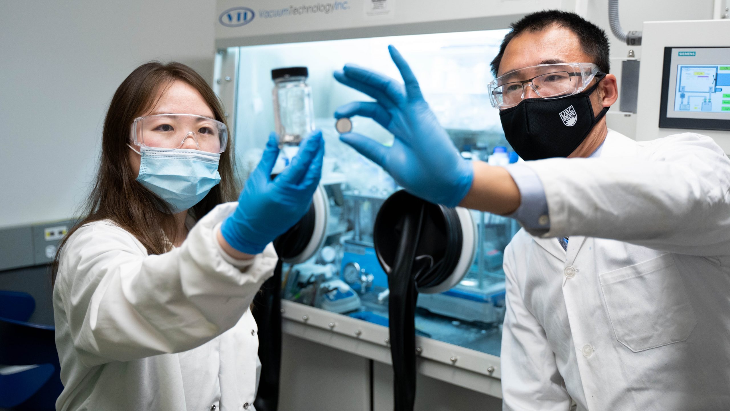
How do we scale up carbon recovery?
Explore
Can my 3D printer recycle my water bottle?
Explore
What would you ask your robot to do for you?
Explore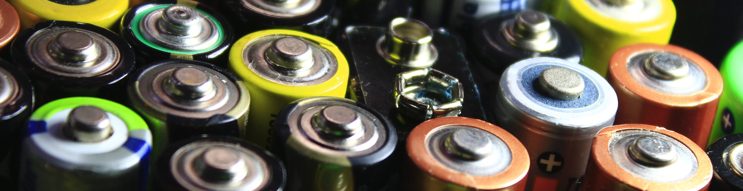
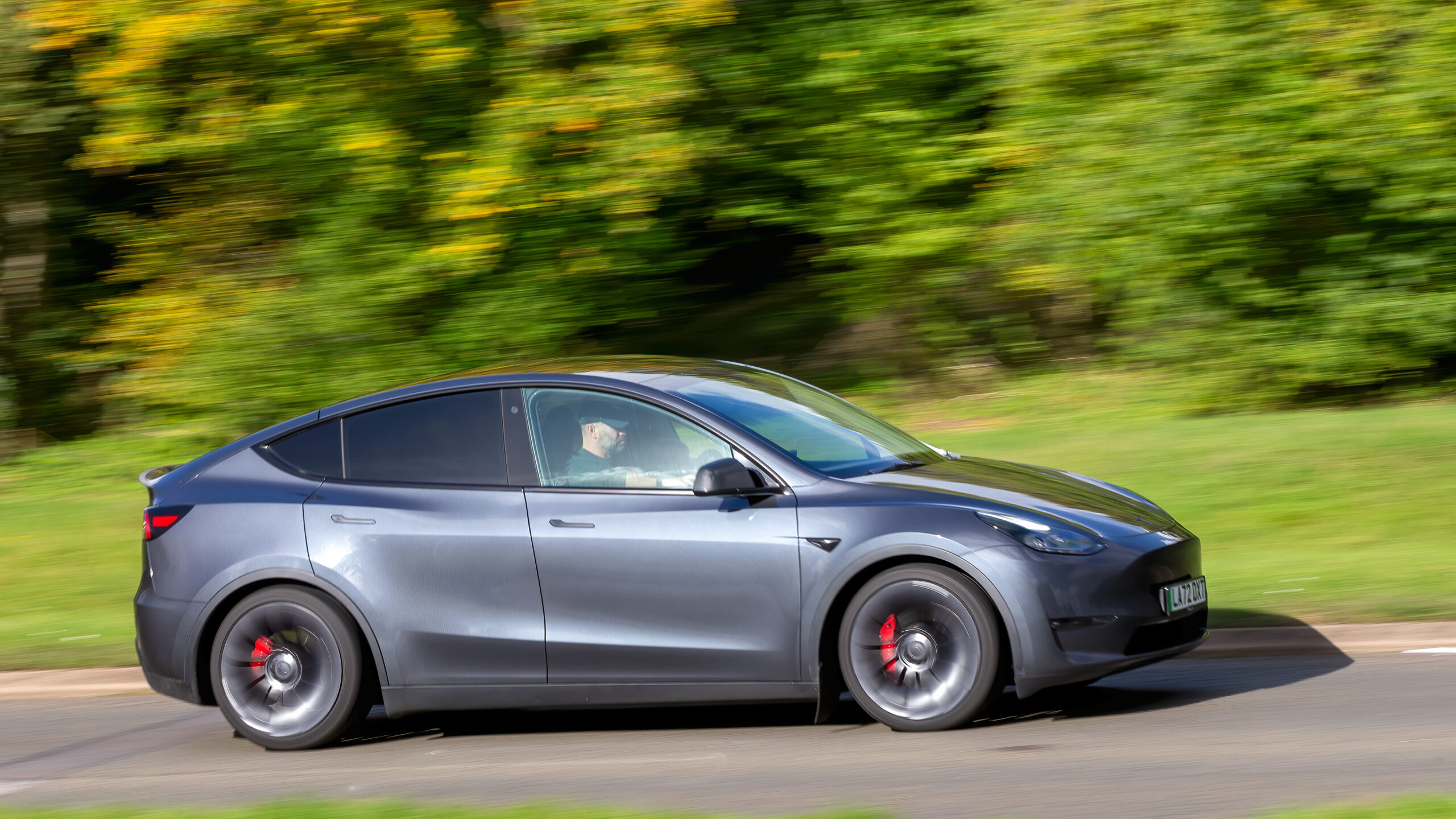
Will cars always need batteries?
Explore
How much smarter can computers get?
Explore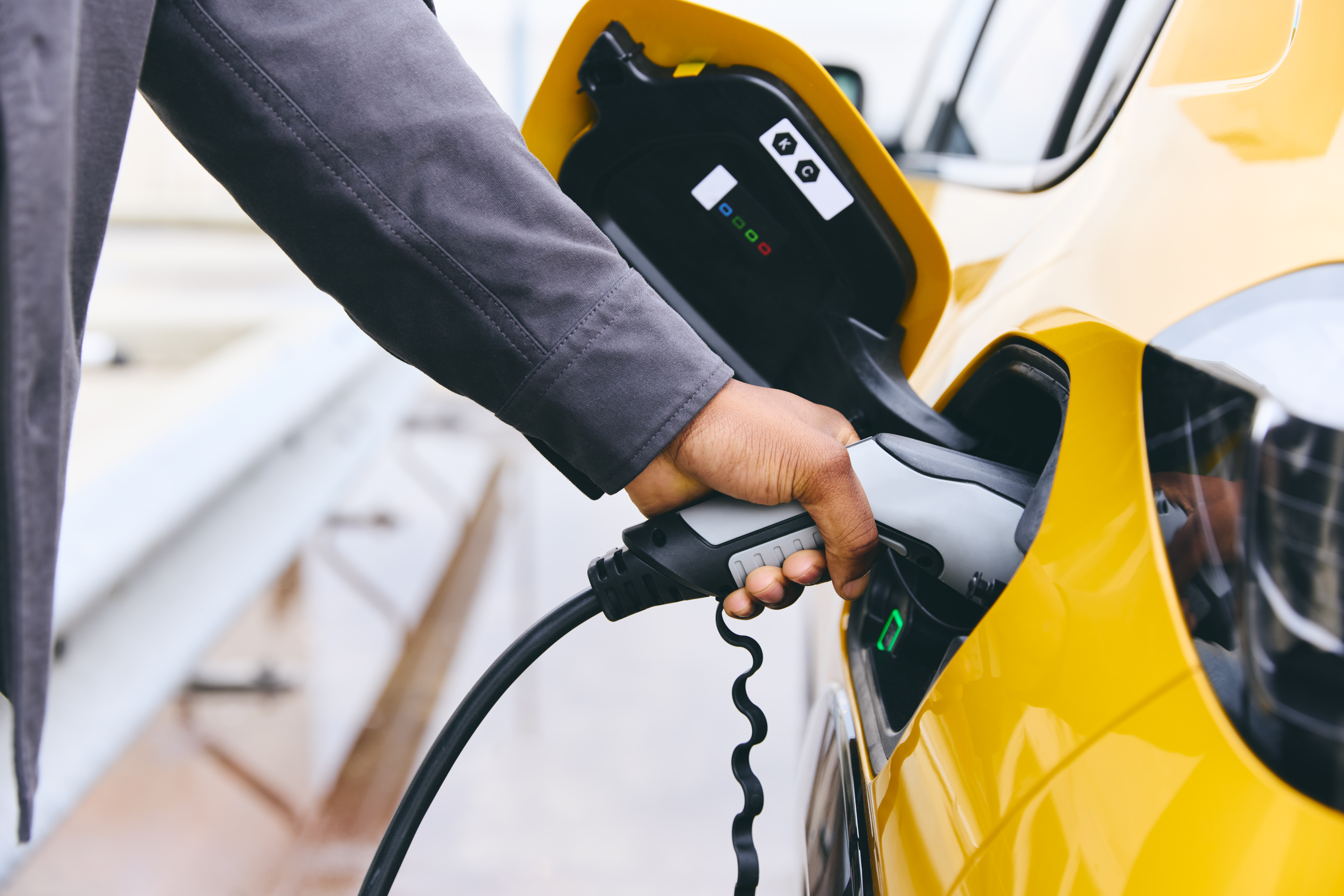
Can my old EV battery charge my new one?
Explore
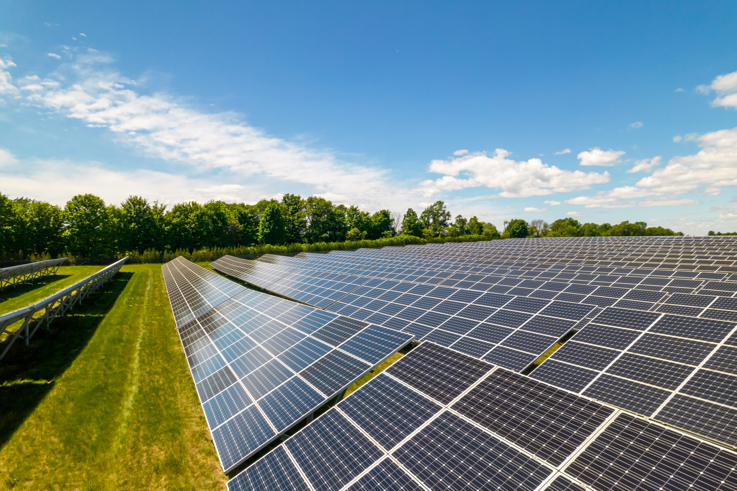
Which country leads the world in installed renewable energy?
Yes! In fact, according to the Centre for Research on Energy and Clean Air, China was set to install as much solar power in 2023 as exists in total in the runner-up country, United States. While they're still one of the world's largest carbon emitters, they've committed to carbon neutrality by 2060.
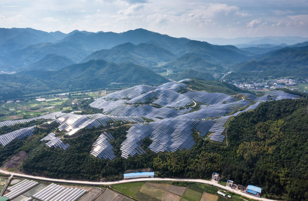
Nope! But they're the runner-up to China, who's led in renewable energy installation for years. While they're still one of the world's largest carbon emitters, they've committed to carbon neutrality by 2060.
In This Together
Blueberry farming, tenancy rights, energy equity, UNDRIP. When it comes to climate change and social justice, we're all in this together.
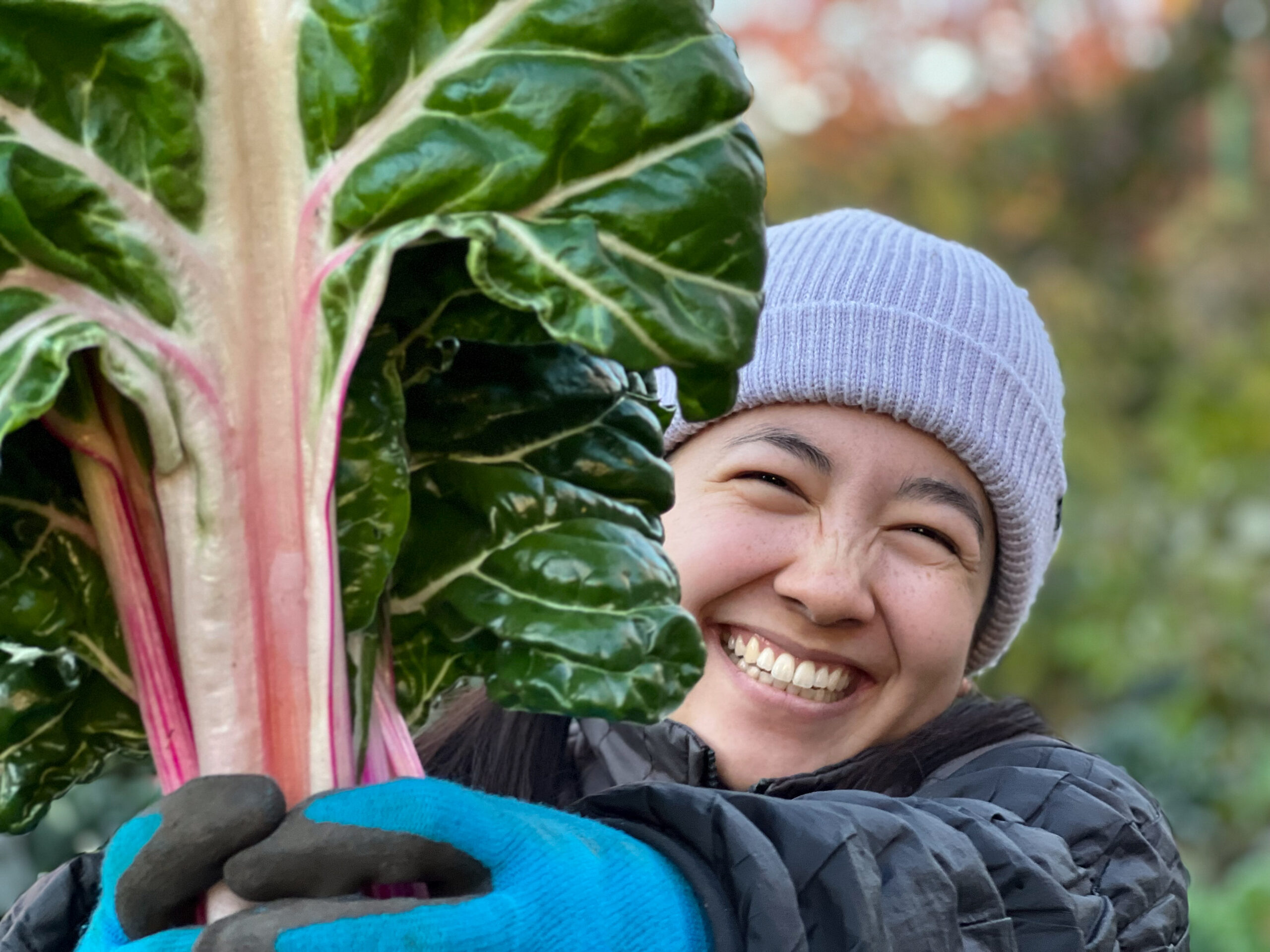
Food insecurity in BC is growing. What are the solutions?
Explore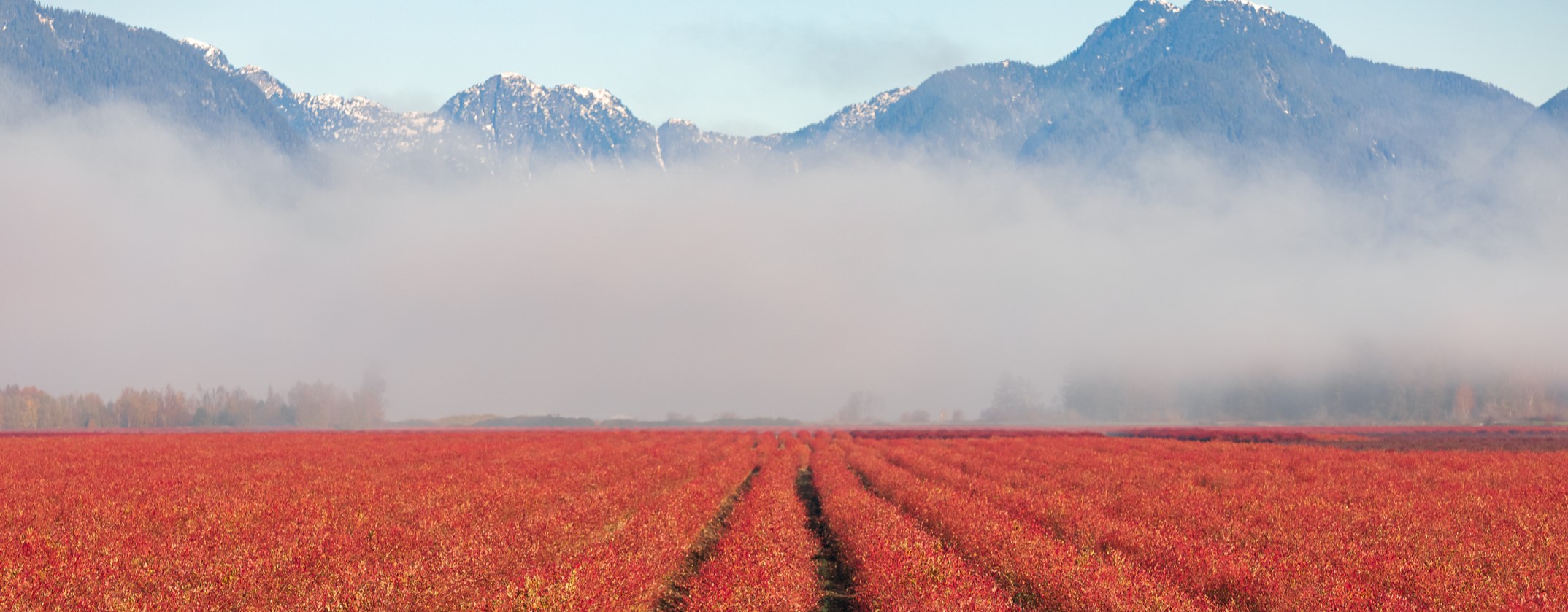
What's a just transition away from fossil fuels?
Explore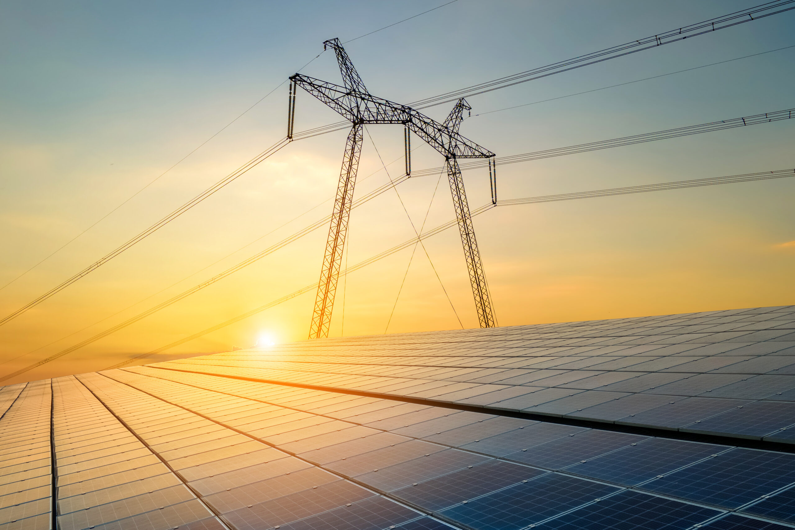
What is energy equity?
Explore
Do your BC tenant rights protect you from climate change?
Explore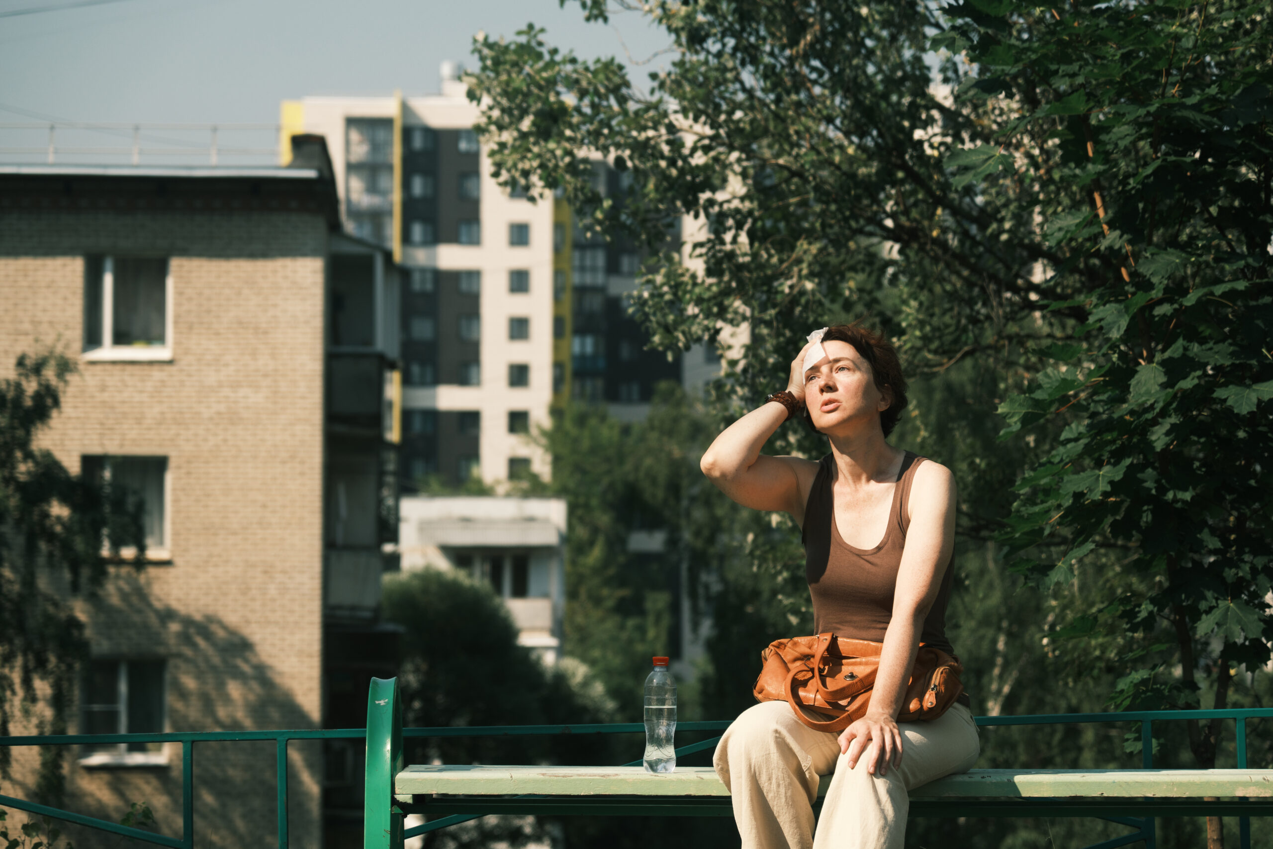
Where is the shade in the Downtown Eastside?
Explore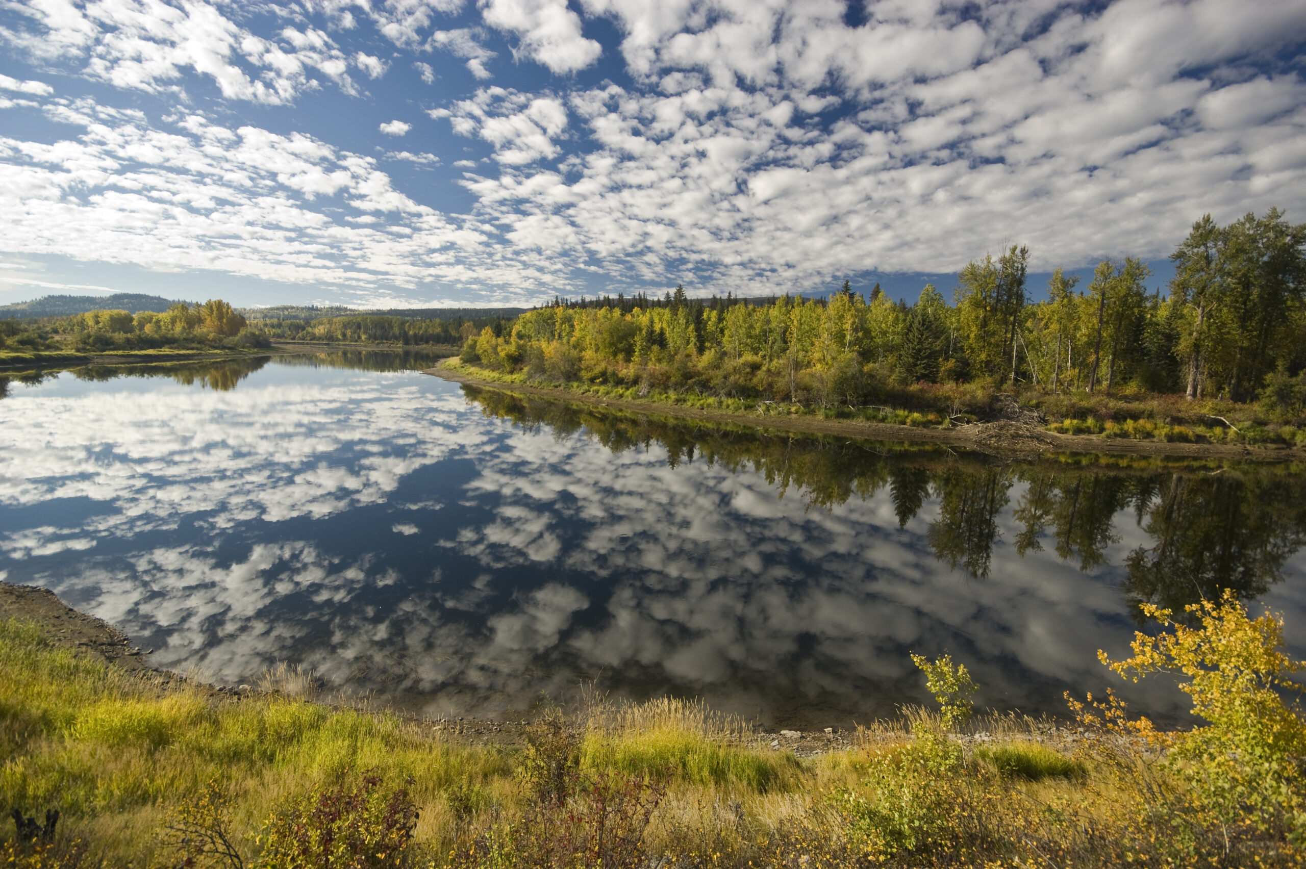
Is BC implementing UNDRIP?
Explore
If we turned Metro Vancouver's annual CO2 emissions (14.8 million tonnes) into a pizza, it would be the total size of BC and Alberta, at 1,300 kilometres in diameter.
It could feed 37 million people!
Strike a Balance
How can we mitigate, adapt, and build climate change resilience? It’s all about striking a balance.
How many trees grow in the "world's greenest city"?
Explore
How are climate action plans designed?
Explore
How do Indigenous values reshape our response to sea-level rise?
Explore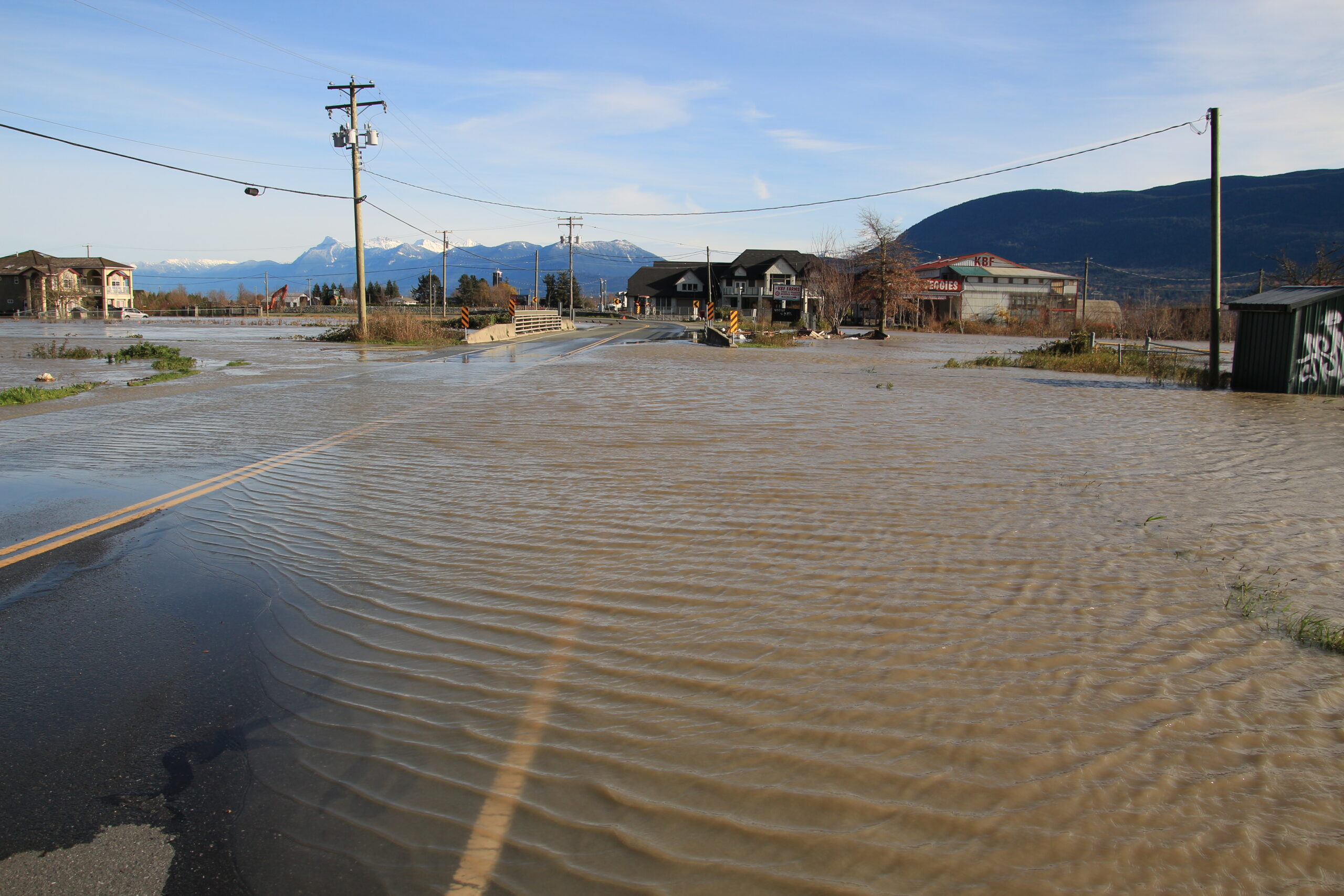
What if my home is in a flood zone?
Explore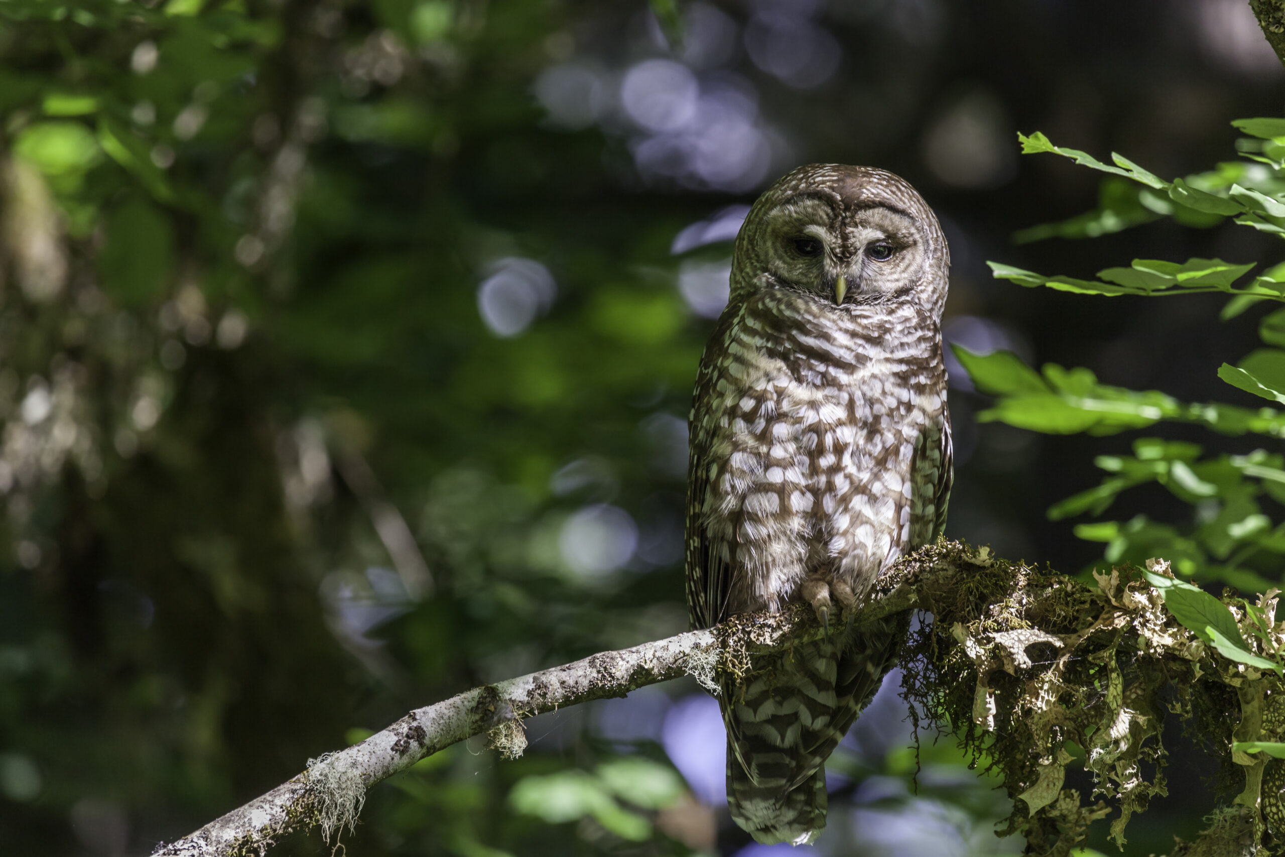
There's one spotted owl left in BC. Where is she?
Explore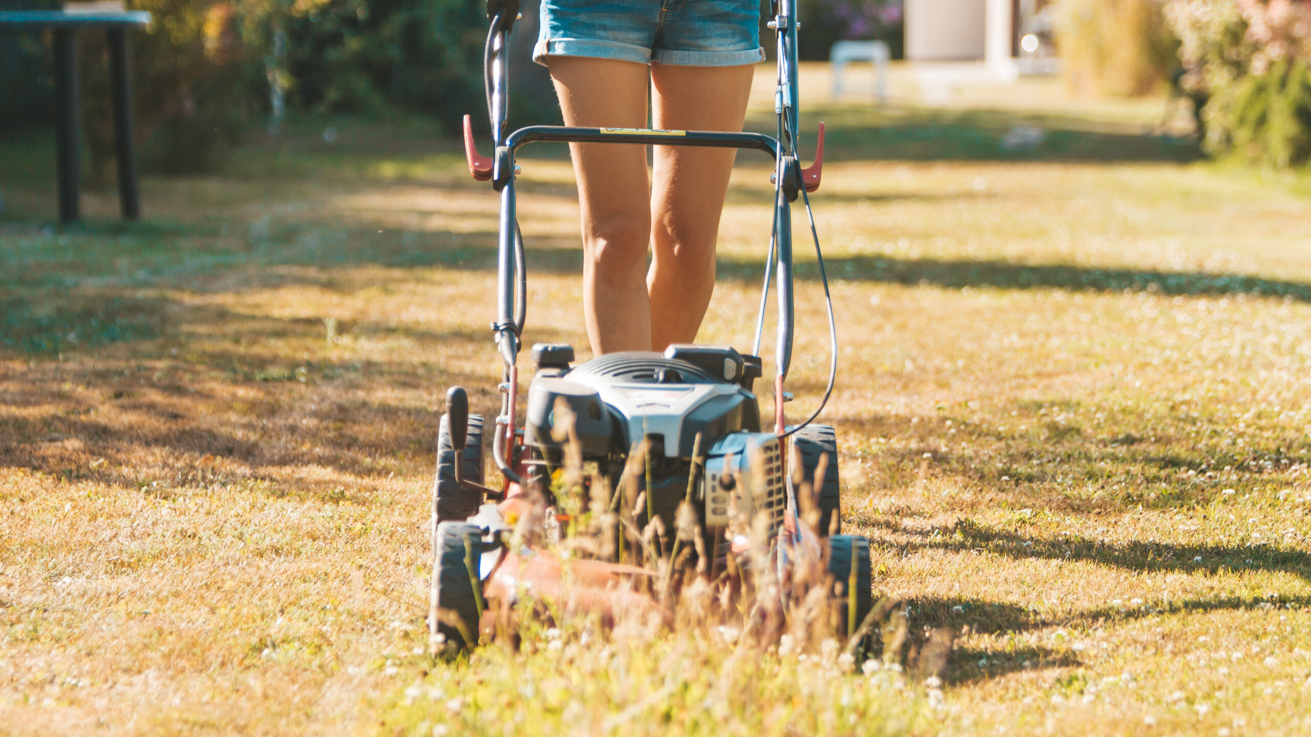
Should your crispy lawn earn you cash?
Explore
How can BC build climate resilience?
Explore
Explore the future of flooding in Vancouver
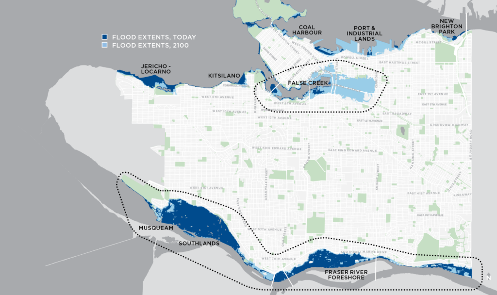
False Creek
See more →
This area is the False Creek floodplain. Dark blue shows flood events we experience today and light blue shows anticipated flooding in 2100 with one metre of sea level rise.
Located in the light blue area is BC Place, Pacific Central Station, Olympic Village, Science World, and the future St. Paul's Hospital site.
Due to sea level rise, the future St. Paul's Hospital is currently being built to "a 2050 standard and a 2100 standard." This includes placing mechanical equipment above ground level, ensuring optimal drainage, and using flood-resistant building materials.
Port of Vancouver
See more →
Areas shaded in light blue include the Port of Vancouver (Canada's largest port), Canada Place, Waterfront Station, and parts of Gastown.
The City of Vancouver notes that many museums, cultural destinations, and historic sites in Gastown and Chinatown are at risk.
River District
See more →
Vancouver's River District is a growing, 130-acre community along the Fraser River. This area is currently susceptible to flooding today, and more severe flooding in 2100.
Potential flooding scenarios range from water in basements and underground parking areas to water reaching first floor and roof levels, causing residential evacuation.
Marine Drive
See more →
According to the City of Vancouver, flooding in the Marine Drive area is caused by rising ocean levels. By 2100, flooding in this area would reach the ground floor level in homes and cause resident evacuation.
xʷməθkʷəy̓əm (Musqueam) First Nation and Southlands
See more →
Flooding in this area would affect residences, parks, and golf courses. Before colonization, this area was home to the Musqueam people's main winter village for over 3,500 years. "The perfect storm" of rising sea levels and increasing winter storms is worrying for the Musqueam First Nation.
Jericho and Locarno Beach
See more →
As the ocean creeps up due to sea level rise, the beach area exposed during low tides will shrink. This is called a "coastal squeeze" and will result in habitat loss for birds, forage fish, mussels, and clams in Vancouver’s shoreline ecosystem.
Kitsilano and Granville Island
See more →
Granville Island is considered one of the most flood-vulnerable areas in False Creek. It houses over 300 businesses and its arts, culture, and culinary scene make it one of Vancouver's most popular destinations.
Flooding in this area would also affect Kitsilano Beach, Vanier Park, and homes within Kits Point.
In the Loop
Turn food waste into art. Redesign a paddleboard. Harvest gold from your TV. Get in the loop on circular economies.
Supported By


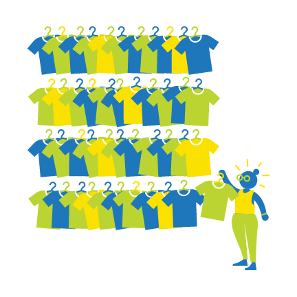
Clothing is one of the fastest growing waste streams in Metro Vancouver, which encompasses 21 municipalities, one electoral area and one treaty First Nation. A whopping 20,000 tonnes of clothing waste is created in the region every year, in large part because of fast fashion and short trend cycles. That’s about 8kg of clothing, roughly the equivalent of 44 t-shirts, discarded every year, per person.


